/ 3 min read
The whole world on the sheet
2026-11-03. The M map surveys the whole world, pauses the ride, and pans and zooms.
Until yesterday the M map was a square kilometre of contours around the camp: the survey the HUD draws was built on the ride's 900 m fence, and past it the sheet was blank paper. The world is sixteen kilometres north to south and eight across, with Cael Gate nine kilometres from the start, none of it on the page.
Now the HUD surveys twice. The local sheet is as it was, 1.25 m cells around the ridable country, and the minimap reads it pixel for pixel as before. The whole world is surveyed beside it at the generator's 4 m cell, 8 million samples in about 60 ms at start, and the M map opens on that: the lake in the north, the valley rims, the escarpment above the Ashfold, the nine places marked and lettered in the Fell italic, a name yielding to a more important neighbour's where they would collide. The ride stands still under the map, the dust with it, as it does in the detached mode. The arrows pan the sheet, Q and E zoom from the whole world in to the minimap's scale, Shift pans fast, and the contours and grid coarsen with the view, 1 m lines and a 100 m grid close in, 32 m lines and a kilometre grid across the world.
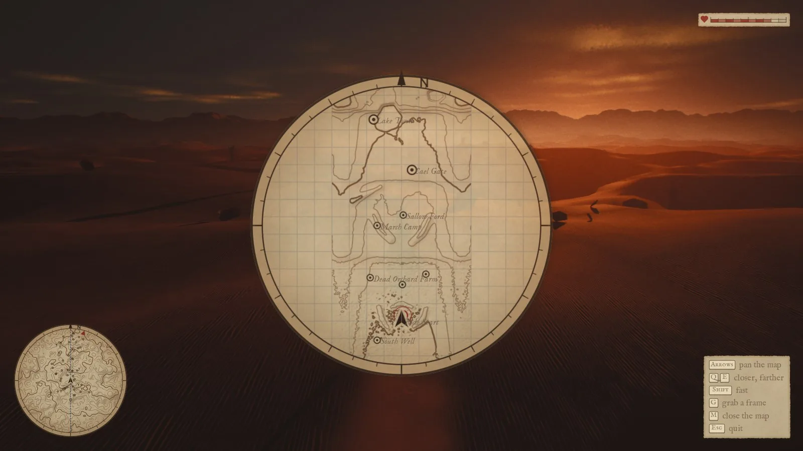
The M map as it opens: north up, the world across the disc, her arrow at the camp in the south.
The first world sheet was unreadable in the south: a dark stipple over the dune country. It was honest contouring. A dune field near a contour's height is crossed by hundreds of tiny closed contours, which a surveyor would never draw at that scale. So the survey now carries coarser levels, each the mean of the one below and generalised again with the same width in cells, and a view draws from the level whose cell matches its metres per pixel, the way a sheet at a smaller scale is drawn from a generalised one rather than traced from the fine one. The minimap stays on the finest level whatever the window's size.
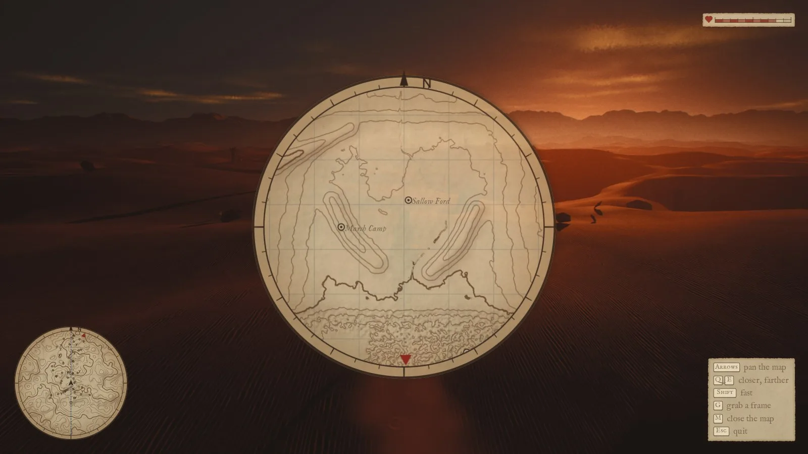
Zoomed to two kilometres: the two long hills either side of Sallow Ford, the escarpment, and the dunes as a dotted texture at 8 m contours.
The water is still not on the sheet: the lake shows only as the contour around it. And she still cannot ride past the fence; the horse, Ioma on foot and the sim's boundary all stop 900 m from the camp. Both are in the backlog.
Lowwater is in development. These notes capture the game at the time of writing; plans and visuals may change.